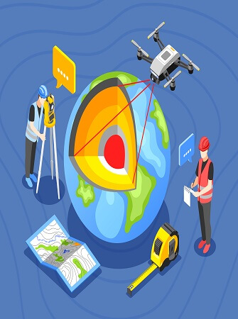
Introduction to Remote Sensing
January 6, 2024, 11:01 am
Remote sensing is a critical component of precision agriculture. It is one of the systems and technologies that make precision agriculture tools effective in making agriculture more productive.
WHAT IS REMOTE SENSING
Remote sensing is the term used to describe all methods used for the collection of data at a distance from an object under study by some kind of recording device.
HISTORY OF REMOTE SENSING
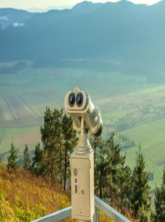
According to the definition above a pair of binoculars or an ordinary camera are simple remote sensing systems. The camera was used already during the end of the 19th century for e.g. military reconnaissance, having the obvious advantage over simple visual inspection in the fact that it produced an image that could be studied and reproduced in several copies. Since the late 1920s, aerial photography has been an important tool in all kinds of mapping and planning work.
During World War II, two new remote sensing methods were developed, the sonar and the radar. After World War II, several systems have been developed for different types of electromagnetic radiation. Remote sensing systems based on electronic radiation detectors are not obviously image generating systems, that is, the result is not an image, but rather a set of numbers stored in a computer compatible format. The stored data can often be transformed into an image by a computer using dedicated software
TYPES OF REMOTE SENSING SYSTEMS
Remote sensing systems are divided into two groups based on separate technical solutions: Passive Remote Sensing and Active Remote Sensing.
Passive remote sensing systems measure existing radiation such as the reflected solar radiation from the earth’s surface.
Active remote sensing systems emit radiation on the study object and measure the reflected amount of radiation.
An ordinary camera is an example of a passive remote sensing system using existing light as input, and forms an image on the film. If a flash is added to the camera it becomes an active remote sensing system since it then provides the necessary radiation without considering the existing radiation sources.
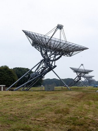
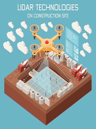
Examples of remote sensing systems of the active type are: Radar, Sonar, and Echo-sounder and the more recently added Lidar which use laser technology to emit and then collect reflections from the surface of the earth. Examples of remote sensing systems of the passive type are: Photography, Digital photography, Scanning Mirror (MSS), and Push broom Scanner.
Radar is currently being employed more frequently in different resource inventories, the use of radar remote sensing is particularly useful in areas that often have a thick cover, since radar waves penetrate clouds and even to certain extent vegetation cover. So radar images have been used e.g. to map landscape and soils in the Amazonas.
Lidar is a technology that is becoming more and more frequent in use, often in order to generate topographic maps and digital elevation models of high resolution. Another trend in the current development is the use of so called hyperspectral satellite sensors that instead of recording in 3-7 wavebands records in several hundreds of narrow wavebands. But still, the most widespread remote sensing systems are aerial photography and satellite multispectral scanning.
USES OF REMOTE SENSING
Meteorology: Development of Weather Systems
This is the application of science and technology to predict the state of atmosphere for a given location. It covers predictions ranging from short-lived to long-term weather. The information of interest includes, among others, the location and development of weather systems such as clouds, rainstorms, tropical cyclones, cold and warm fronts. Information needs a physical carrier to travel from the object to the sensor through an intervening medium.
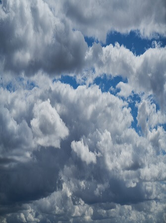
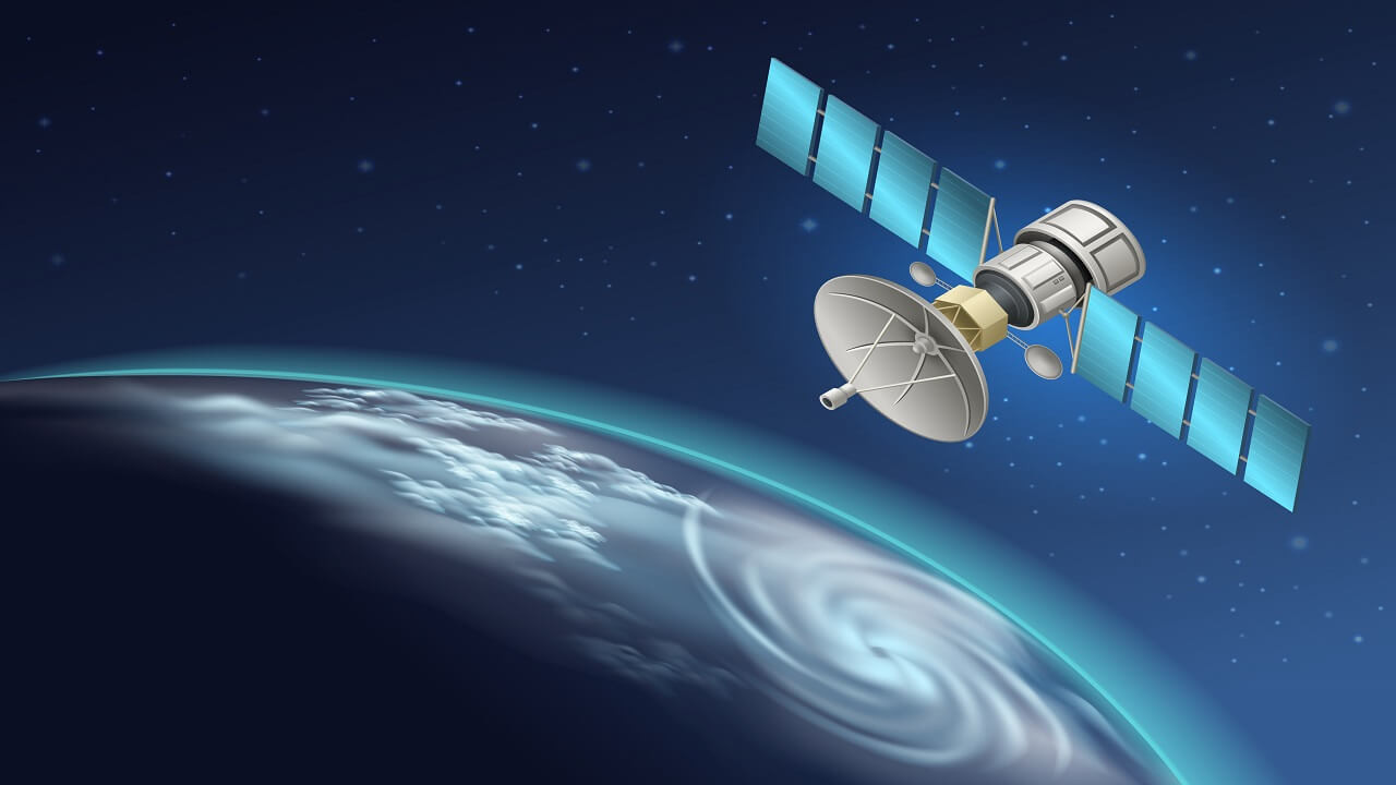
Meteorological satellites can be used to keep track of weather systems days before they come close to an area. This is particularly useful in monitoring severe weather systems like tropical cyclones. The very basic application of meteorological satellite is in identification of clouds. Clouds can be broadly classified into three categories according to the cloud base height, namely, low, medium and high clouds. Some clouds, such as cumulonimbus (a type of thundery clouds), span the three layers. Sensors on board meteorological satellites are pointing towards the ground, enabling them to have bird eye view of the globe from the space.
Climatology: Monitoring Climate Changes
Remote sensing techniques, and specifically satellite images, have been already successfully used in a wide range of climate change fields, such as for: (i) investigating global temperature trends, both at the ocean surface and in the atmosphere, (ii) detecting changes in solar radiation affecting global warming.
It is used in aerial sensors to detect or locate objects on the earth's land surface or atmosphere, by means of transmitting electromagnetic radiation. Remote sensing has improved weather forecasts, showing wind movement and atmospheric temperature obtained from space.
A weather satellite is a type of satellite that is primarily used to monitor the weather and climate of the Earth. Satellites can be polar orbiting (covering the entire Earth asynchronously), or geostationary (hovering over the same spot on the equator).
Geological Surveys.
Remote sensing data can help studies involving geological mapping, geological hazards and economic geology (i.e., exploration for minerals, petroleum, etc.). Such techniques are particularly beneficial for exploration of inaccessible areas, and planets other than Earth.
Remote sensing is the science of obtaining information about objects or areas from a distance, typically from aircraft or satellites using sensors. The most common are visible and infrared sensors, followed by microwave, gamma rays and rarely, ultraviolet. They may also be used to detect the emission spectra of various chemicals, providing data on chemical concentrations in the atmosphere. Radiation in the reflected IR region is used for remote sensing purposes in ways very similar to radiation in the visible portion. The reflected IR covers wavelengths from approximately 0.7 μm to 3.0 μm.
GPS is a technology used to get coordinates that “fix” points on the earth, whereas “remote sensing” is a technology to learn something about materials or objects on the earth. GPS uses the triangulation of multiple satellite positions to determine the GPS receiver's location.
Archaeology
Remote sensing has been able to assist archaeological research in several ways during the past years, including detection of subsurface remains, monitoring archaeological sites and monuments, archaeolandscapes studies, etc
Light detection and ranging, or LiDAR, has changed the face of archaeology by making it possible to measure and map objects and structures that might otherwise remain hidden. Mapping with light. Lidar, or “light detection and ranging” technology, directs hundreds of thousands of pulses of light toward the ground. Predictive modeling is a vital application for GIS in archaeology.
By incorporating historic map data, physical details of an area's landscape and known information about past inhabitants, archaeologists can Maps are important to archaeologists because maps illustrate the connection between artifacts, Eco facts, features, and the landscape. These connections, or associations, are sometimes referred to as spatial relationships by archaeologists.
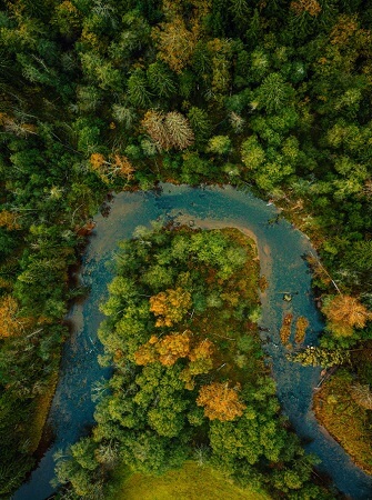
Water Resources Surveys
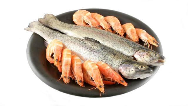
The process involves investigations on the quality, quantity, effects of climate change, protection of water resources and the integrated relationship between surface water and groundwater. Water exposed on the surface can be detected using visible, infrared and radar images, while freshwater entering natural basins needs thermal infrared sensors. Water resource mapping related to the specific area and compare the evolution in the years.
Of these, the resources most available for use are the waters of the oceans, rivers, and lakes; other available water resources include groundwater and deep subsurface waters and glaciers and permanent snowfields. The current limitations for image-based remote sensing applications are mainly due to sensor attributes, such as restricted spectral range, coarse spatial resolution, slow turnaround time, and inadequate repeat coverage
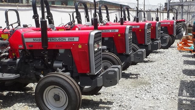
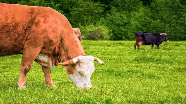
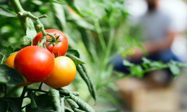
Agricultural and Forestry
Remote sensing can detect, identify, classify, evaluate and measure various forest characteristics in two ways: qualitatively and quantitatively. In a qualitative way remote sensing can classify forest cover types to: coniferous and deciduous forest, mangrove forest, swamp forest, forest plantations, etc. It gives the soil moisture data and helps in determining the quantity of moisture in the soil and hence the type of crop that can be grown in the soil.
Through remote sensing, farmers can tell where water resources are available for use over a given land and whether the resources are adequate. The form of crops developed in an area, crop state, and yield can be considered. Recording crop state by remote sensing can get the crop status in addition to the condition and progress of their development.
Natural Disaster
Remote sensing can assist in damage assessment and aftermath monitoring, providing a quantitative base for relief operations. It is used to map the new situation and update the databases used for the reconstruction of an area, and can help to prevent that such a disaster occurs again. Natural hazards are naturally occurring physical phenomena caused either by rapid or slow onset events which can be geophysical (earthquakes, landslides, tsunamis and volcanic activity), hydrological (avalanches and floods), climatological (extreme temperatures, drought and wildfires), meteorological etc. The sensed data on wind patterns and trends in ocean rise have been useful in predicting the onset of hurricane and flood disasters. Such information has been used predict likely land areas to be affected and early relocation of identified vulnerable groups
Sources and References
Introduction to Remote Sensing and Geographical Information Systems (Department of Physical Geography and Ecosystems Sciences Lund University) by Ulrik Mårtensson
Applications of Remote Sensing by Dr. G A Karhale Head, Department of Physics, Madhavrao Patil ACS College, Palam Dist. Parbhani (M. S.) India.


Share This Article: